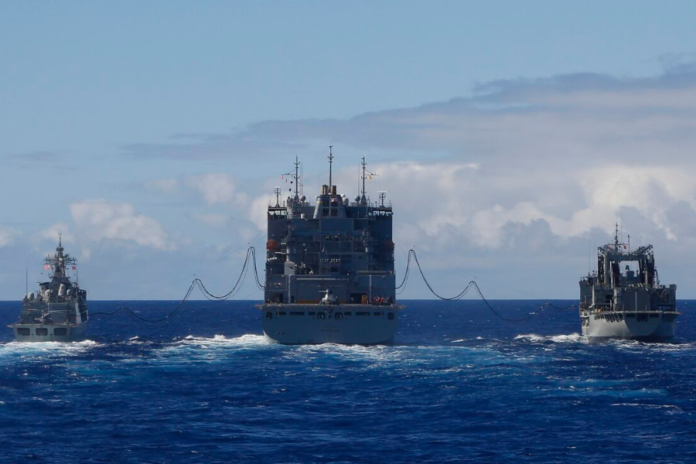
The Indian Navy is keeping tabs on three Chinese research vessels that are presently conducting operations in the Indian Ocean region. These ships, Xiang Yang Hong 03, Zhong Shan Da Xue, and Ying Wang 7, are visible in the area according to the most recent satellite photos.
Zhong Shan Da Xue is described by UNESCO as a massive, cutting-edge floating laboratory that will aid researchers in their exploration of the deep sea. With a total tonnage of 6,800 tons, it is the largest oceanographic research vessel in China, measuring 114.3 meters in length and 19.4 meters in width.
The ship can accommodate 100 people, including 76 members of the research team and the 24 crew members, along its approximate 15,000-mile range. With many remote-sensing instruments capable of exploring depths of up to 10,000 meters, the research vessel Xiang Yang Hong 03 belongs to the newest class of research vessels.
Authorities in India and the West assume that the Chinese say these are scientific research vessels, but it’s not quite that cut and dry. As previously noted in a letter provided by the Indian Navy, it is thought that the vessels are part of a bigger plan to gather information essential for conducting naval operations, particularly those involving submarines.
It is thought that the Chinese ships are collecting data for naval planners on salinity, bathymetry, and currents, all of which are important for submarine warfare. Because the hydrographic data is civilian-defence agnostic, it can be applied to both military and civilian applications.
Also Read: INS Arighat completes upgradation, set to join Indian Navy
Defense and open-source intelligence analyst H.I. Sutton stated in an article on NavalNews dated January 22, 2021, titled “Chinese Ships Seen Mapping Strategic Seabed In Indian Ocean,” that certain survey operations, closer to Indonesia and the Andaman and Nicobar Islands, may be connected to locating the US Navy’s purported “fish hook” sensor networks.
The purpose of these networks is to monitor Chinese submarines as they approach the Indian Ocean.


